Map
Giga maps schools and their connectivity levels, creating a real-time display of access and need.
No one knows how many there are total in the world (we estimate there are 6-7 million) and this map is vital to funders, governments, and for accountability.
Giga uses machine learning to scan satellite images and identify schools. These are then marked by coloured dots on an open-source map: green where there is good connectivity; amber where it is limited; and red where there is no connectivity at all.
With help from its partners, Giga has now mapped the location of over 1 million schools and has connectivity data for nearly one third of these.

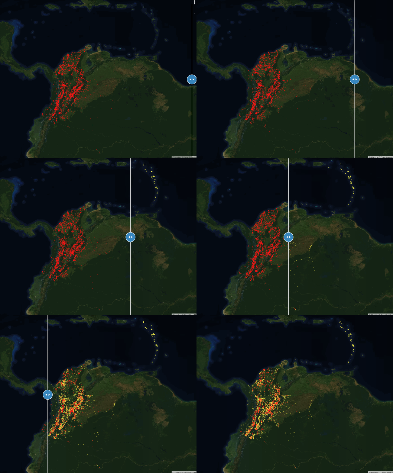
In Colombia, we applied artificial intelligence techniques to automatically map schools from satellite imagery and provide the government the location of 7,000 schools that were not part of their official datasets.

Mapping shows where resources are needed.
Many governments do not know where all the schools in their countries are. Without that information, they – and other nongovernmental organizations – cannot effectively provide services or deliver resources to children and their communities. During emergencies, this information can also guide response efforts by informing how to deliver critical information and other supplies.

It shows where there is internet and if it is reliable.
Many governments and organizations are committed to connecting schools to the internet, but do not yet have the ability to monitor whether schools are actually connected and whether connections are of good quality.
It improves access to data for good.
It has been proven that availability and quality of data is considerably higher for wealthier regions. This data inequity leads to disparities in resource allocation, where vulnerable populations are left behind.


It highlights gaps in infrastructure.
Without knowing where connectivity needs to be extended, governments and investors don’t know how much it will cost, making it more difficult and riskier to finance.
It establishes market demand.
Because internet service providers cannot measure the size of potential new customers, they struggle to make a case for bringing infrastructure to remote areas. This results in limited investment and increased prices.

Giga has helped the Government of Kyrgyzstan to generate $200k savings per year (40% of its education connectivity budget). By seeing all the schools on a map and their corresponding connectivity, the Government was able to renegotiate contracts and subsequently reduce prices by almost half (from $50/month to $28.5/month) and to almost double speeds (from 2Mbps to 4Mbps).
In Niger, Giga developed an algorithm to approximate the location of unmapped schools based on other available data. The algorithm estimated the location of 4,758 previously unmapped schools and overlaid this with electricity data to show where schools had access. In Niamey, Giga successfully used very high-resolution stereo imagery to calculate building heights, providing important information for infrastructure installation planning.
In Sierra Leone Giga worked with the government to map distance from communities to schools and to connectivity and use this to map out-of-school children as well as to identify factors (availability of basic infrastructure at schools, learning materials, teacher training) that impact learning outcomes the most.
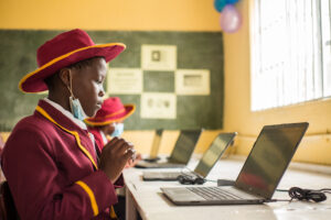
How mobile coverage data from Meta helps bring internet access to schools across the globe
Internet access is critical for education. Having it means access to information and all the opportunities that information brings – from exposure to new ways of learning to engaging with the world beyond one’s own community.

Mapping schools in Sudan using artificial intelligence
Thanks to a challenge run by Omdena, we now have a model that can identify schools in Sudan from satellite imagery with 95% accuracy.

Giga and Mapbox come together to map schools across the globe
To accelerate our school mapping efforts, we collaborated with Mapbox to create a crowdsourced application to identify schools using satellite imagery.
