
Development Seed is working with UNICEF’s Office of Innovation to enable rapid school mapping from space across Asia, Africa, and South America with AI. In seven months of development and implementation, we added 23,100 unmapped schools to the map in Kenya, Rwanda, Sierra Leone, Niger, Honduras, Ghana, Kazakhstan, and Uzbekistan.
UNICEF’s Giga Initiative endeavors to map every school on the planet. Knowing the location of schools is the first step to accelerate connectivity, online learning, and initiatives for children and their communities, and drive economic stimulus, particularly in lower-income countries.
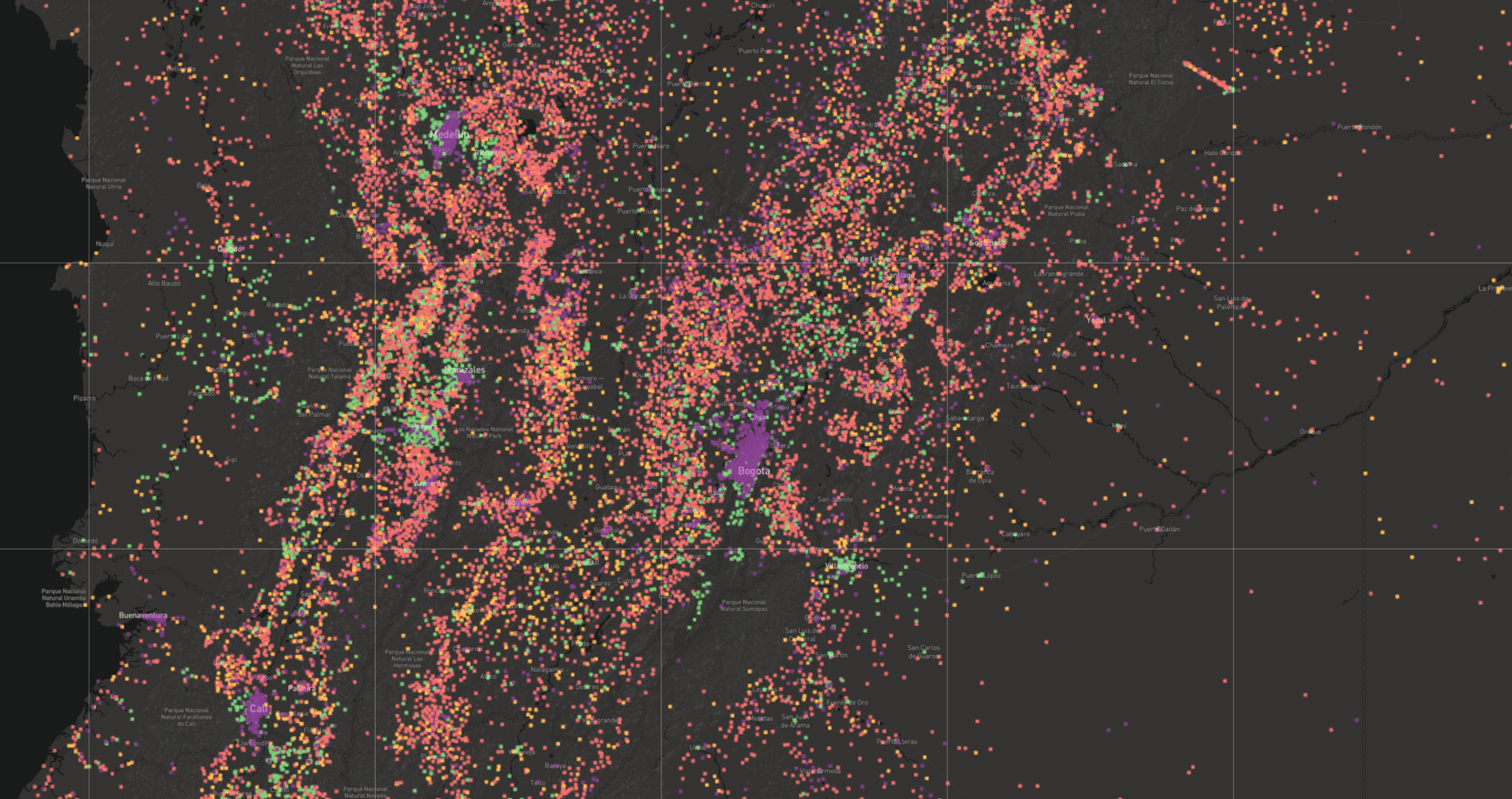
To accomplish this we built an end-to-end scalable AI model pipeline that scans high-resolution satellite imagery from Maxar, applies our highly refined algorithm for identifying buildings that are likely to be schools, and flags those schools for human review by our talented Data Team. You can view our interactive maps of schools before and after the project for all countries we mapped, and examples of unmapped schools we found through the project.
Scanning high-resolution imagery of large sections of the planet is a massive undertaking. Accomplishing an effort of this scale gave us the opportunity to make improvements to our scalable AI tool (will be open-sourced soon), from efficient model training and experiments with Kubeflow on Google Kubernetes Engine, fast model inference with ML-Enabler, and data curation tools. We are proud to contribute these advances with AI for Good communities through advancing open datasets and open source libraries.
Background
Accurate data about school locations is critical to provide quality education and promote lifelong learning. Quality education is a core UN Sustainable Development Goal 4 (SDG4), and directly supports other Goals to achieve equal access to opportunity (SDG10) and eventually, to reduce poverty (SDG1). However, in many countries, educational facilities’ records are often inaccurate, incomplete or non-existent. An accurate, comprehensive map of schools — where no school is left behind — is necessary to measure and improve the quality of learning. Such a map, in combination with connectivity data collected by UNICEF’s Giga initiative, can be used to reduce the digital divide in education and improve access to information, digital goods, and opportunities for entire communities. In addition, understanding the location of schools can help governments and international organizations gain critical insights into the needs of vulnerable populations, and better prepare and respond to exogenous shocks such as disease outbreaks or natural disasters.
Aligned with the mission of the Giga initiative, we developed an AI-assisted rapid school mapping capability and deployed it in 8 countries in Asia, Africa, and South America. This capability combines two AI modeling approaches: a) we built a set of tile-based school classifier, which is a high-performing and accurate binary classification convolutional neural network, to search through 71 million slippy map tiles in 60cm of high-resolution Maxar Vivid imagery and identify tiles that are likely to contain schools, and b) a direct school detection AI model. This post focuses on tile-based school classifiers. We developed and refined multiple tile-based models: six country-specific models, two regional models (West and East African models), and a global model.
The East African regional model was trained with data from Kenya and Rwanda. The West African regional model was trained with data from Sierra Leone and Niger. The global models were trained with all countries’ school datasets. Regional and global models were trained to generalize well in the geo-diverse landscape; by testing the East African regional and Kenya tile-based school classifier models in Kenya, we found the regional model outperformed the country-specific models. It indicates that the model that was exposed to diverse looks and school features can outperform the model that only trains with limited features in less geo-diverse backgrounds.