
Model — Turning data into delivery
Using geospatial modelling to help governments identify
the most effective way to connect every school.
the most effective way to connect every school.
Giga helps Governments move from ambition to implementation by identifying the most effective way to connect every school.
Using geospatial modelling and infrastructure analysis, Giga assesses connectivity options based on real-world conditions, including existing fibre networks, mobile coverage, terrain and cost structures.
This approach has already been applied in multiple countries, including Benin, Botswana, Brazil, Malawi and Namibia, helping Governments move from fragmented pilots to national delivery strategies.
By combining technical modelling with policy and regulatory insights, Governments are able to make informed decisions about how to scale connectivity sustainably.
Using geospatial modelling and infrastructure analysis, Giga assesses connectivity options based on real-world conditions, including existing fibre networks, mobile coverage, terrain and cost structures.
This approach has already been applied in multiple countries, including Benin, Botswana, Brazil, Malawi and Namibia, helping Governments move from fragmented pilots to national delivery strategies.
By combining technical modelling with policy and regulatory insights, Governments are able to make informed decisions about how to scale connectivity sustainably.
9
Countries with completed
infrastructure modelling
infrastructure modelling
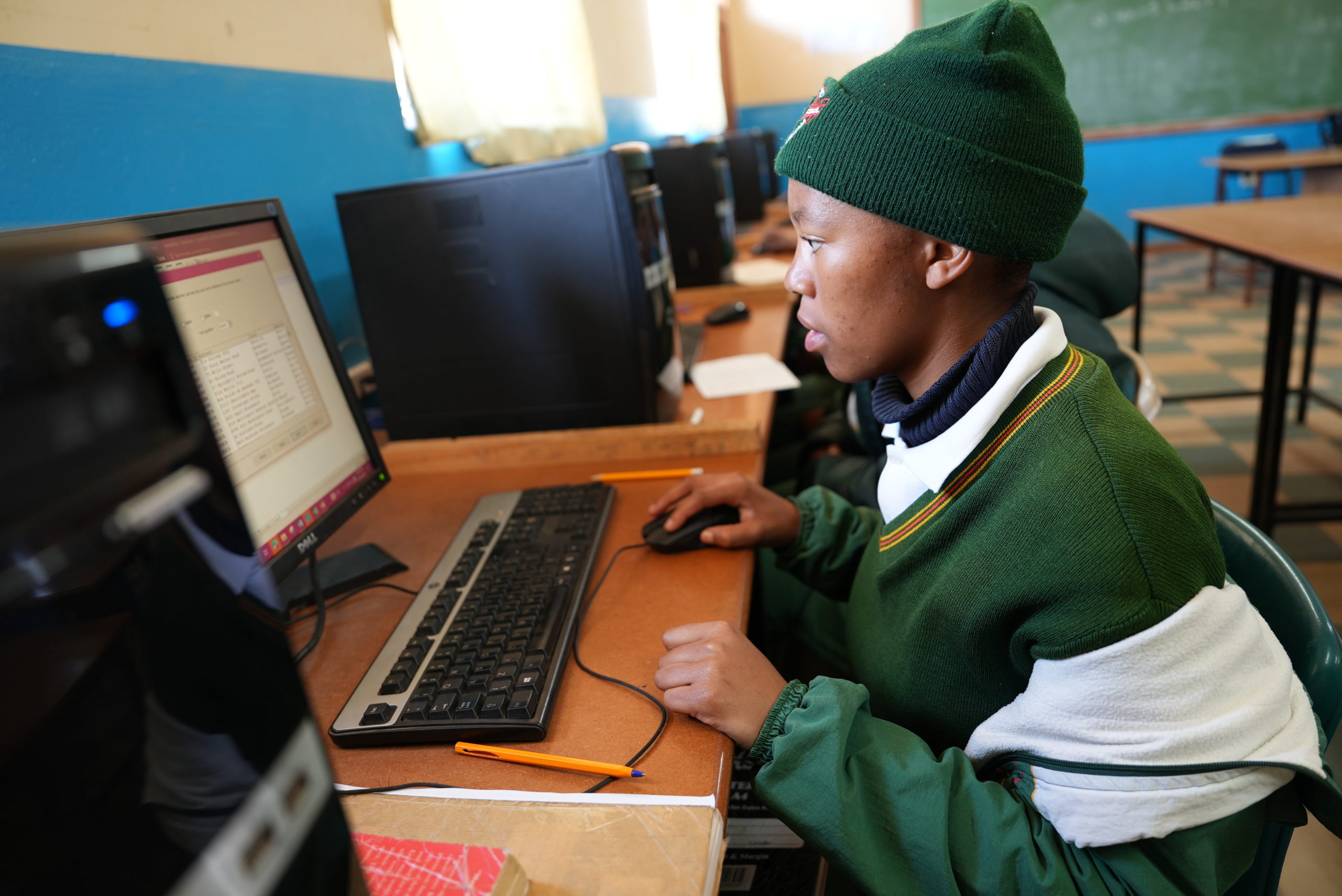
STORY HIGHLIGHT
Namibia: From pilots to managed national infrastructure
Government teams are using Giga’s modelling tools alongside real-time monitoring to plan national rollout and track connectivity performance, helping shift from one-off connections to managed, reliable infrastructure.